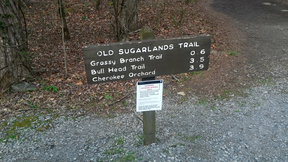
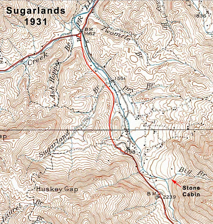
  The name "Sugarlands" refers to a mountain valley located near Gatlinburg, Tennessee inside the Great Smoky Mountains National Park. The name is derived from the number of sugar maple trees located in the area. Prior to the formation of the park, a thriving mountain community inhabited the area. In fact, one of the largest cemeteries in the park is located on the Old Sugarlands trail. Structures within this locality before the park included mills, stores, a school, and of course many homes. While the buildings have been removed, there are still remnants of the community available for discovery. You can easily observe stone walls and foundations while hiking the Old Sugarlands Trail (which includes part of old highway TN 71), especially during fall and winter. During the early spring look for daffodils which give away the location of old homesites along the trail. Our hike is all to familiar to us, roughly 6miles round trip. We packed the necessary gear, always remember water because after three miles into our hike we realized I was sipping on the last bottle, we had left our water in the truck at the trailhead DOH! Immediately you start off on the trail and to your left is the remains of the old rock quarry used by the Triple C ( CCC )The Civilian Conservation Corps was a public work relief program that operated from 1933 to 1942 in the United States for unemployed, unmarried men. Originally for young men ages 18–25, it was eventually expanded to young men ages 17–28. These men would be responsible for engineering and building the bridges, roads, trails and government buildings you see today in the Great Smoky Mountain National Park. There are remnants of different CCC camps throughout the park. Over 4,000 enrollees were assigned to 22 CCC camps at various times from 1933 - 1942. As you begin on the trail you pass the rock quarry and to your right if you just imagine a General store sitting there. You are now on the old roadbed of TN 71 multiples of homes are on your right hand side in the lower level near the river. Many remains can be found. If you take your time right in front of you on the trail will be a power pole, revealing the existence of a once forgotten community in the woods. The trail will eventually come to a T you will run into the old CCC clock tower 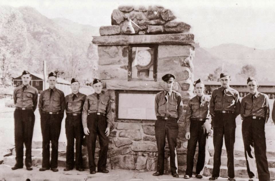 You follow the faint roadway to the right and don't keep following the trail up, as you hike down the roadway you will clearly see a three sided structure on your left, mostly likely a trash incinerator used by the CCC. This roadway actually gave access to homesites, Phi Beta Phi school, and one of the largest cemeteries in the Great Smoky Mountains. Damage from the fires in 2016' are all to evident still on Bullhead Mountain. After fording two streams a faint path leads the way from Big Branch to the stone house. Can't imagine living all the way out here back in the 1930's with minimal provisions. The stone house is in rough shape, roof missing, part of the front is collapsing and is being held up by a metal pole. I ask myself what is the Park really doing to help, why aren't they preserving history or atleast what's left with the few buildings in the park. To know unlike many tourists that buildings in Cade's cove, Roaring Fork, or the Mountain Farm Museum in Ocanaluftee, NC most of them weren't even from there. Buildings were picked up and moved to create fake historic villages for tourists to see. Tourists would rather see a innaccurate home vs a rockpile of the actual homes in history. What an amazing hike today with great weather that East Tennessee has to offer. The intrinsic value of this place is incomparable. #hikedontwalk #mikethehikingguide #adventureoutdoors #gsmnp #knoxville #easttennessee #hikeintohistory #historicarchaeology #explorers #oldsugarlands #rockhouse #stonehouse #pocketnature
0 Comments
Leave a Reply. |
MiketheHikingGuide
Just an explorer searching for his next adventure Archives
January 2019
Categories |


 RSS Feed
